Photogrammetry

3D Mapping and Surveying

Unparalleled Perspectives.

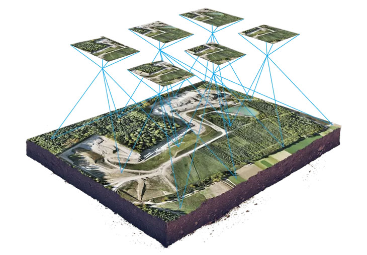
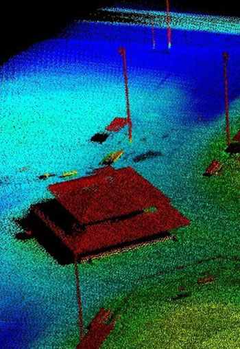
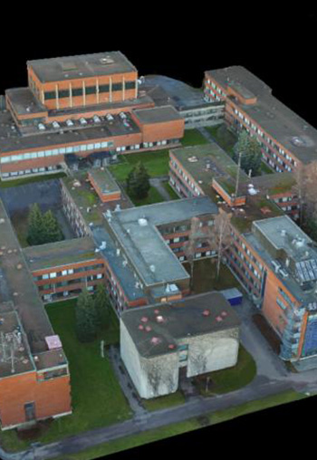
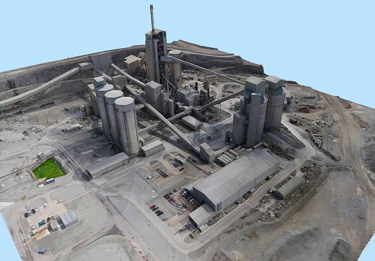
Photogrammetry is the art and science of extracting 3D information from photographs. The process involves taking overlapping photographs of an object, structure, or space, and converting them into 2D or 3D digital models.

Photogrammetry is often used by surveyors, architects, engineers, and contractors to create topographic maps, meshes, point clouds, or drawings based on the real-world.

What could be better? One company to work with and you can trust to handle all of your imagery needs with no fuss and quick turnarounds.

Image
Image
Image
Image
Image

Don't Wait!

Contact us today... no obligations. Let's discuss your needs directly.

Image

Exclusive Discounts & News Direct to your inbox... WE DON'T SPAM!

Please insert your API key for mailchimp.

© 2025, AeroVantage Services, ALL RIGHTS RESERVED. Some stock photography and video used as demo for available services and to protect current clients private projects. End product will be high resolution and fully customized solution.

Mailing Address

PO Box 381665 Duncanville, Texas 75138

Booking & Info

E. CLICK TO EMAIL
P. 214.336.7369

Follow Us